simple simple Brussels Brussels metro metro
Brussels metro doesn’t have to be confusing.
Navigate with a clean, focused app designed for one thing only.
Anywhere. Anytime.
Navigate with a clean, focused app designed for one thing only.
Anywhere. Anytime.
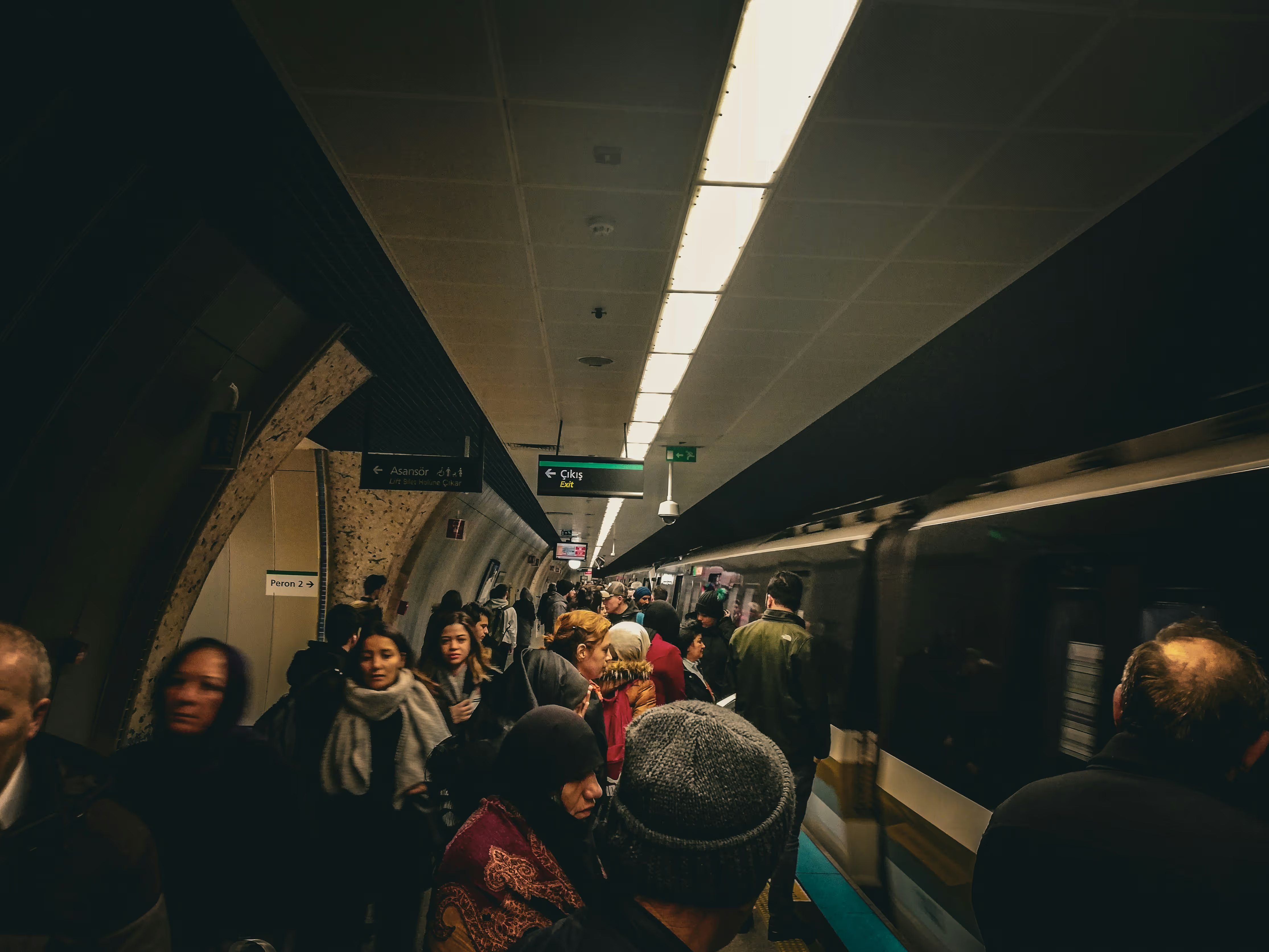
You’re standing in a crowded metro station, trying to squeeze close enough to the wall map to see the lines. People everywhere. The map feels miles away.
.svg)
Easy

Offline

Simple

Accessible
NO
CLUTTER
NO CONFUSION
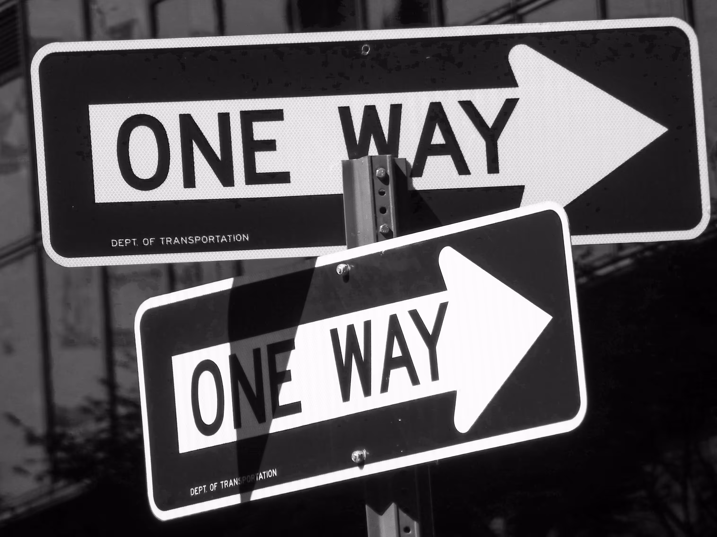
JUST
SIMPLE WAY
IN
YOUR POCKET
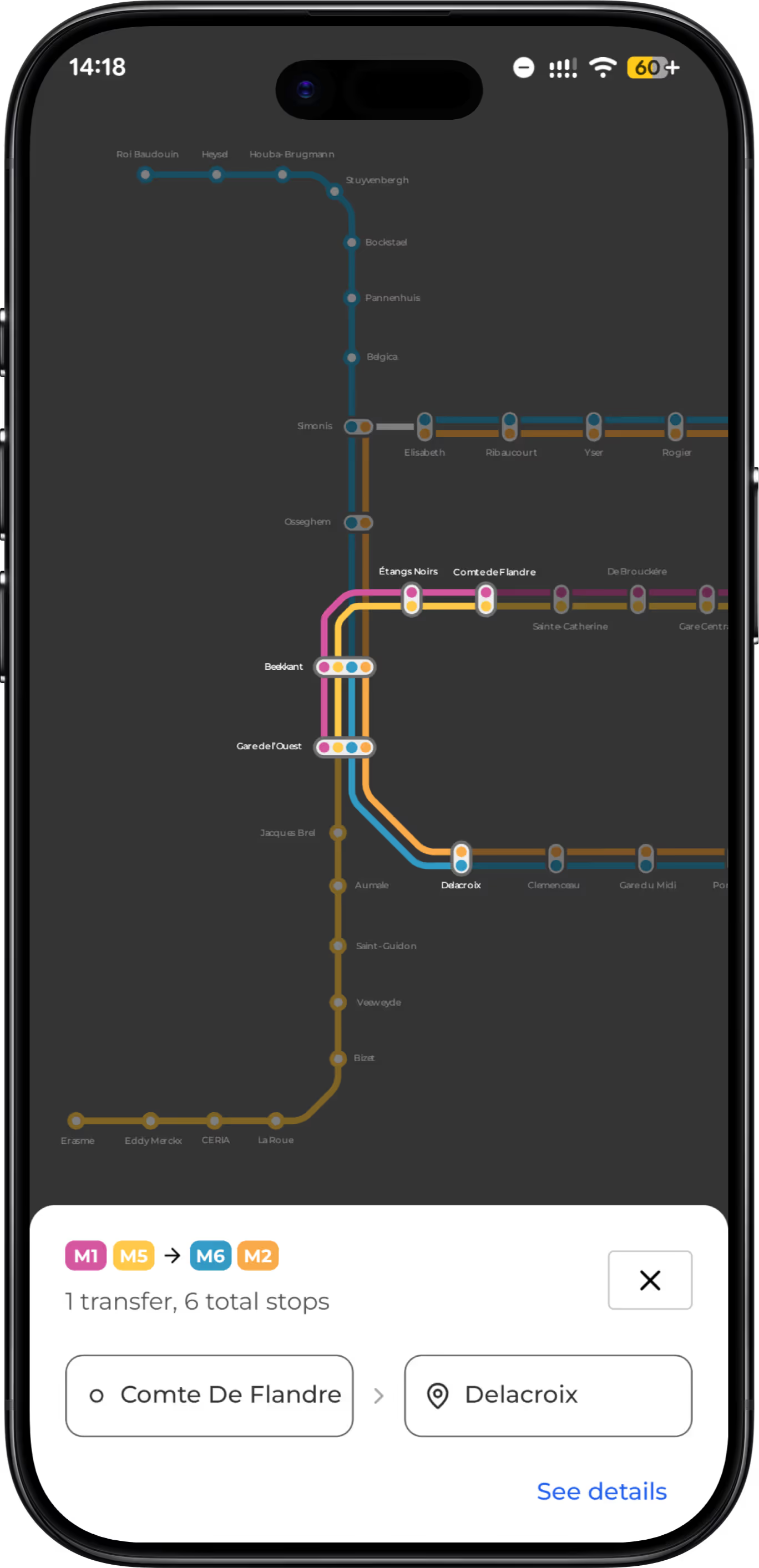
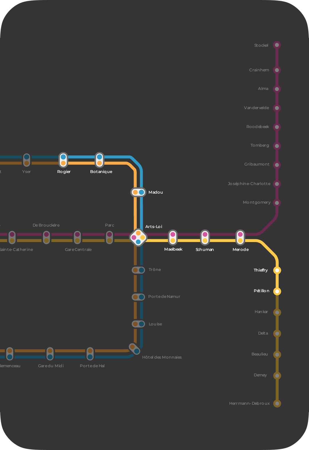
FROMFROMA to BA to B
SIMPLICITY SIMPLICITY WINSWINS
PERFECTPERFECTFORFOR
Lost in the Metro? We’ve All Been There.
“My eyesight isn’t great, and every time I try to read the metro map from afar, I feel a wave of panic. It’s crowded, people are pushing, and I can’t see a thing”
Sophie
Moved recently from Antwerpen
“As someone new to Brussels, I used to get this tight feeling in my chest every time I needed to change lines. The maps are so far away and so tiny.”
Clara
Newcomer to Brussels from Cyprus
“I swear the metro map gets smaller every day, or maybe my eyes are getting older. ”
Jean
Brussels resident